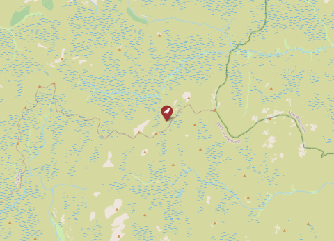
Map of Phenoweb, United Kingdom
© OpenStreetMap

Details

Land
United Kingdom
Soort
Blue tit
Pipeline
Nee
Max. nr nestboxes
338
Lopende periode
2014–Present
ID data
Metal rings
Omgevingsdata
Food availability
Rainfall
Temperature
Individuele data
Morphological measures
Habitat
Deciduous
Basale broeddata
Ja
Voederdata beschikbaar
Nee
Download metadata
Geen data beschikbaar
General Information 
Responsible partyAlly Phillimore
Contactalbert.phillimore@ed.ac.uk 
OrganisationUniversity of Edinburgh
Other team members 
Data availabilityno data available through SPI-Birds
Data license 
Funding 
Study site 
NamePhenoweb
IDPHW
CountryUnited Kingdom
Size (ha)88
Major site changes 
Latitude (decimal degrees N)55.977, 57.8853
Longitude (decimal degrees E)-4.3295, -3.3552
Minimum elevation (m)10
Maximum elevation (m)433
Number of nests (min)180
Number of nests (max)338
EUNIS habitat codeG: Woodland, forest and other wooded land | G1: Broadleaved deciduous woodland | G1.1: Riparian and gallery woodland, with dominant alder, birch, poplar or willow
Description of study site

https://doi.org/10.1111/ecog.03573 

https://phenoweb.org 

Data 
SpeciesCyanistes caeruleus
Start year2014
End year2025
Continuous collection of dataYes
Gap years 
Longest data collection 
Taggingmetal leg ring
Brood data collectedclutch size, fledgling number, hatch date, lay date
Individual data collectedage, size (weight, wing, tarsus, etc.)
Environmental data collectedfood availability, vegetation, temperature, rainfall
Genetic data collected 
Experimental manipulationsYes
Description of experimental manipulations 
Other activities 

Details

Land
United Kingdom
Soort
Blue tit
Pipeline
Nee
Max. nr nestboxes
338
Lopende periode
2014–Present
ID data
Metal rings
Omgevingsdata
Food availability
Rainfall
Temperature
Individuele data
Morphological measures
Habitat
Deciduous
Basale broeddata
Ja
Voederdata beschikbaar
Nee