New Island

Populatie
View all studies on the map
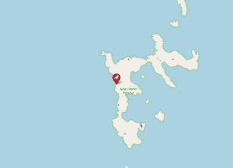
Map of New Island, Falkland Islands (Malvinas). Map layer from OpenStreetMap.

Details

Country
Falkland Islands (Malvinas)
Species
Black-browed albatross
Pipeline
No
Running period
2003–Present
ID data
Metal rings
Individual data
Morphological measures
Basic breeding
Yes
Feeding at nest data
Yes
Download metadata
No data available
General Information 
Responsible partyPaulo Catry (ORCID: 0000-0003-3000-0522)
Contactpaulo.catry@gmail.com 
OrganisationIspa - Instituto Universitário
Other team membersJosé Granadeiro (Faculty of Sciences, University of Lisbon)
Data availabilityno data available through SPI-Birds
Data license 
FundingFalkland Islands Government (Environmental Studies Budget), and FCT - Portugal.
Study site 
NameNew Island
IDNEW
CountryFalkland Islands (Malvinas)
Size (ha)5
Major site changes 
Latitude (decimal degrees N)-51.715
Longitude (decimal degrees E)-61.312
Minimum elevation (m)30
Maximum elevation (m)100
Number of nests (min) 
Number of nests (max) 
EUNIS habitat codeB: Coastal habitats | B3: Rock cliffs, ledges and shores, including the supralittoral | B3.2: Unvegetated rock cliffs, ledges, shores and islets
Description of study sitehttps://doi.org/10.3354/meps13743 
Data 
SpeciesThalassarche melanophris
Start year2003
End year 
Continuous collection of dataYes
Gap years 
Longest data collection 
Taggingmetal leg ring, Darvic leg ring, GPS transponder
Brood data collectedhatch date, clutch size, fledgling number
Individual data collectedage, feeding, size (weight, wing, tarsus, etc.)
Environmental data collected 
Genetic data collected 
Experimental manipulations 
Description of experimental manipulations 
Other activities 

Details

Country
Falkland Islands (Malvinas)
Species
Black-browed albatross
Pipeline
No
Running period
2003–Present
ID data
Metal rings
Individual data
Morphological measures
Basic breeding
Yes
Feeding at nest data
Yes